You are here
New York: Map Shows Where State Will Become Underwater From Sea Level Rise
Primary tabs
New York: Map Shows Where State Will Become Underwater From Sea Level Rise
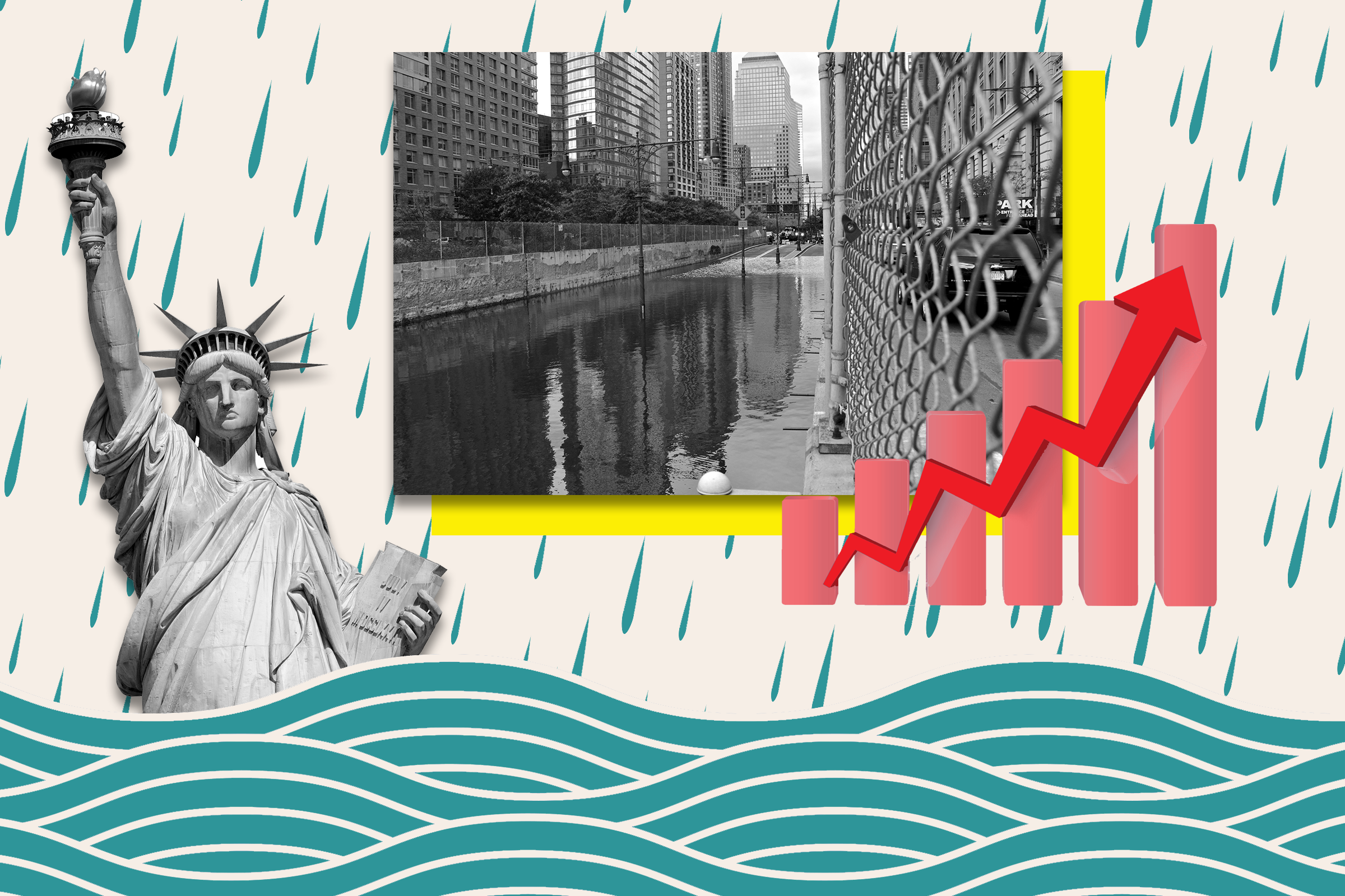
Tue, 2024-04-09 11:32 — mike kraft New York map shows where state will become underwater from sea level rise New York City and swaths of Long Island are vulnerable to being consumed by the rising ocean as sea ice melts in the coming century. Newsweek
 Parts of Manhattan, Long Beach and Coney Island are at risk of being consumed by water as sea levels rise due to the effects of climate change in the coming century, modeling suggests.
According to projections by the National Oceanic and Atmospheric Administration, a sea level rise of around 3 feet would still see receding coastlines along New York's stretch of the Atlantic Ocean, with neighborhoods in Hamilton Beach, Montauk and Westhampton encroached upon by ocean waters.
...
Country / Region Tags:
General Topic Tags:
Problem, Solution, SitRep, or ?:
Groups this Group Post belongs to:
- Private group -

Recent Comments